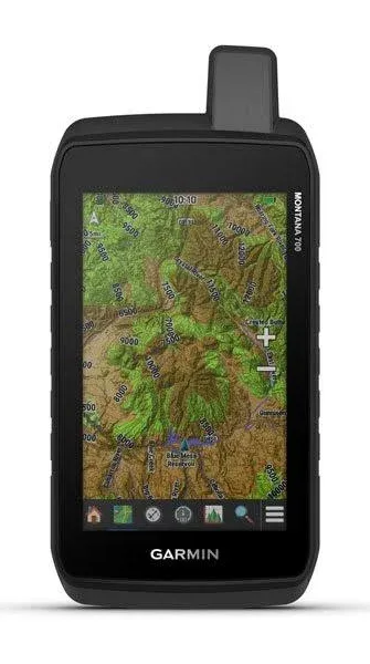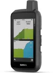
Garmin Montana 700, Rugged GPS Handheld | Routable Mapping for Roads and Trails, Glove-Friendly 5" Color Touchscreen, Topographic Mapping, Multi-GNSS Support, IPX7 with Signature Gift Bundle
Compare price from $609.99 ~ $745.12ADVERTISEMENT
Product Details
This Bundle Contains: 1 Garmin Montana 700, Rugged GPS Handheld, Routable Mapping for Roads and Trails, Glove-Friendly 5" Color Touchscreen + Signature Series Gift Box + 1 Signature Series Scratch and Shockproof Water Resistant Case + 1 Signature Series Ultra Slim 5000mAh Portable Charger External Battery Pack, Wall and Car Charger Combo Global Connectivity: Multi-GNSS (GPS and Galileo) support — plus preloaded TopoActive and City Navigator maps; navigation sensors include 3-axis compass and barometric altimeter. Pro-connected with ANT+ technology, Wi-Fi connectivity and BLUETOOTH wireless networking, giving you direct-to-device access to BirdsEye Satellite Imagery downloads, location sharing, Connect IQ app support and more. Topoactive Maps with Public Land Boundaries: To navigate your adventures, use preloaded topographical maps for the U.S. and Canada. View terrain contours, elevations, coastlines, rivers, landmarks and more. Optional display of federal public land boundaries on topographical maps helps you know that you’re venturing where you’re supposed to be. Navigate your next trail with ABC sensors, including an altimeter for elevation data, barometer to monitor weather and 3-axis electronic compass. Rugged and Durable By Design: Features rugged military-grade construction and a 5” touchscreen display that’s 50% larger than the previous model. It geotags photos with coordinates, so you can navigate back to favorite sites in the future. An internal, rechargeable lithium-ion battery pack provides more than 18 hours of battery life in GPS mode. For hunters and trainers, this Montana syncs with compatible Astro or Alpha series handhelds (sold separately) to help track sporting dogs in the field. Tracking and Expedition Mode: Using your web-based MapShare trip-sharing page, followers can see your progress, ping your device to see... view more

